


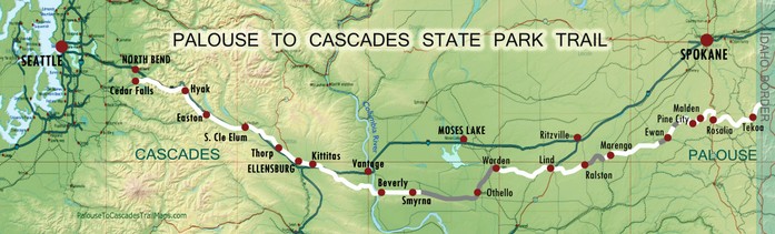
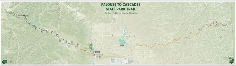
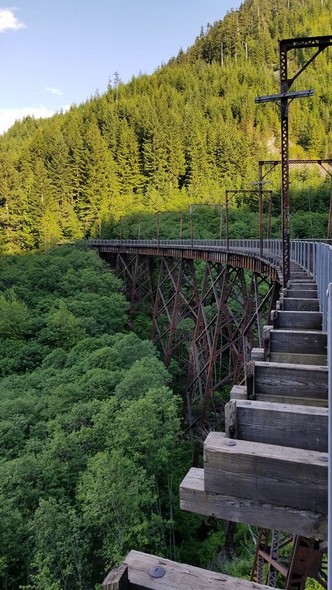
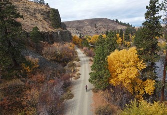
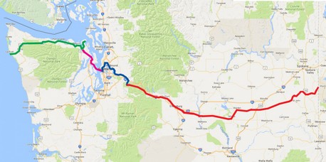
The Palouse to Cascades State Park Trail (previously known as the John Wayne Pioneer Trail/Iron Horse State Park) is located within a rail corridor that stretches more than 285 miles across Washington State, following the historic route of the Milwaukee Road from Cedar Falls to the Idaho border. Washington State Parks currently manages approximately 250 miles of trail within this corridor. From the wheat fields of eastern Washington's Palouse region, through central Washington's Channeled Scablands and agricultural Columbia Basin, to the evergreen forests of the Cascade Mountains, this recreational trail showcases Washington's diverse landscape. This website was developed in response to a need for updated MAPS and INFORMATION for trail users and is not affiliated with Washington State Parks.
WHAT'S NEW:
(Note - Actual conditions on the trail are subject to change.)
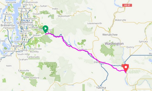
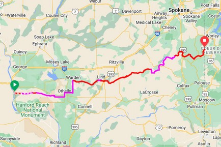
GPS ROUTE MAPS with waypoints and information
Detours shown are recommendations only; other options may be possible. Detours may change with trail and bridge conditions. All efforts are made to keep these maps updated with current conditions.
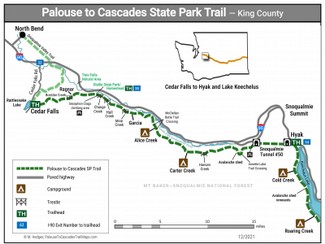
Printable Maps for WEST of the Columbia River
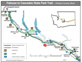
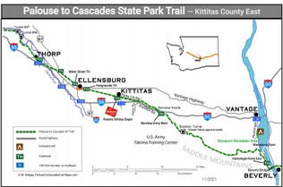
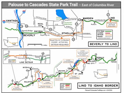
Printable Maps for EAST of the Columbia River
Along Lower Crab Creek east of Beverly
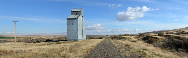
Roxboro, between Warden and Lind
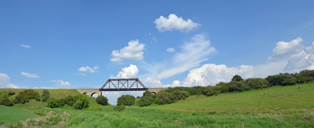
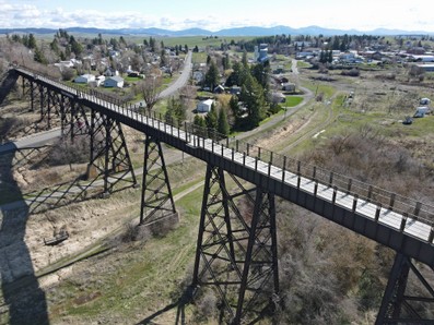
Seabury Bridge, in the Palouse
Connecting Trails
TRAILS CONNECTING TO THE WEST
- King Country Regional Trails MAP (for blue trail below)
- Olympic Discovery Trail (for green trail above)
- Pink line connecting Olympic Discovery Trail to King County Trails across the Kitsap Peninsula is still under development.
TRAILS CONNECTING TO THE EAST
